 After our hike to Refuge Pilatte the previous day, another
very early and freezing cold start on Sunday morning saw us heading
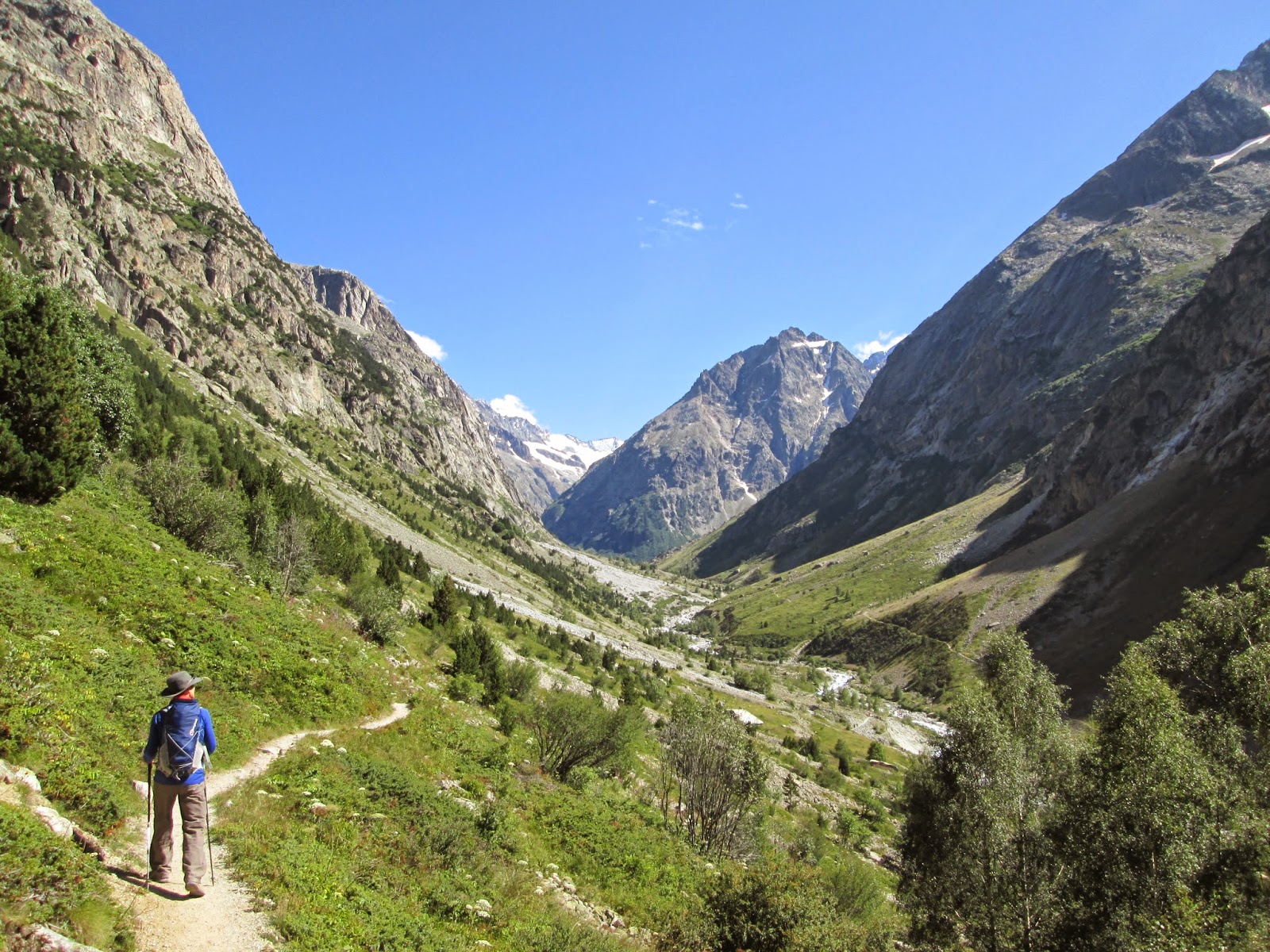
north into the Vallon des Etancons, aiming to reach the Refuge de
Chatelleret at 2225m and possibly on towards the Refuge Le
Promontoire at 3092m. A short climb out of La Berarde preceded a long
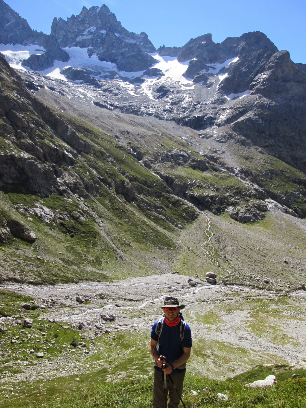
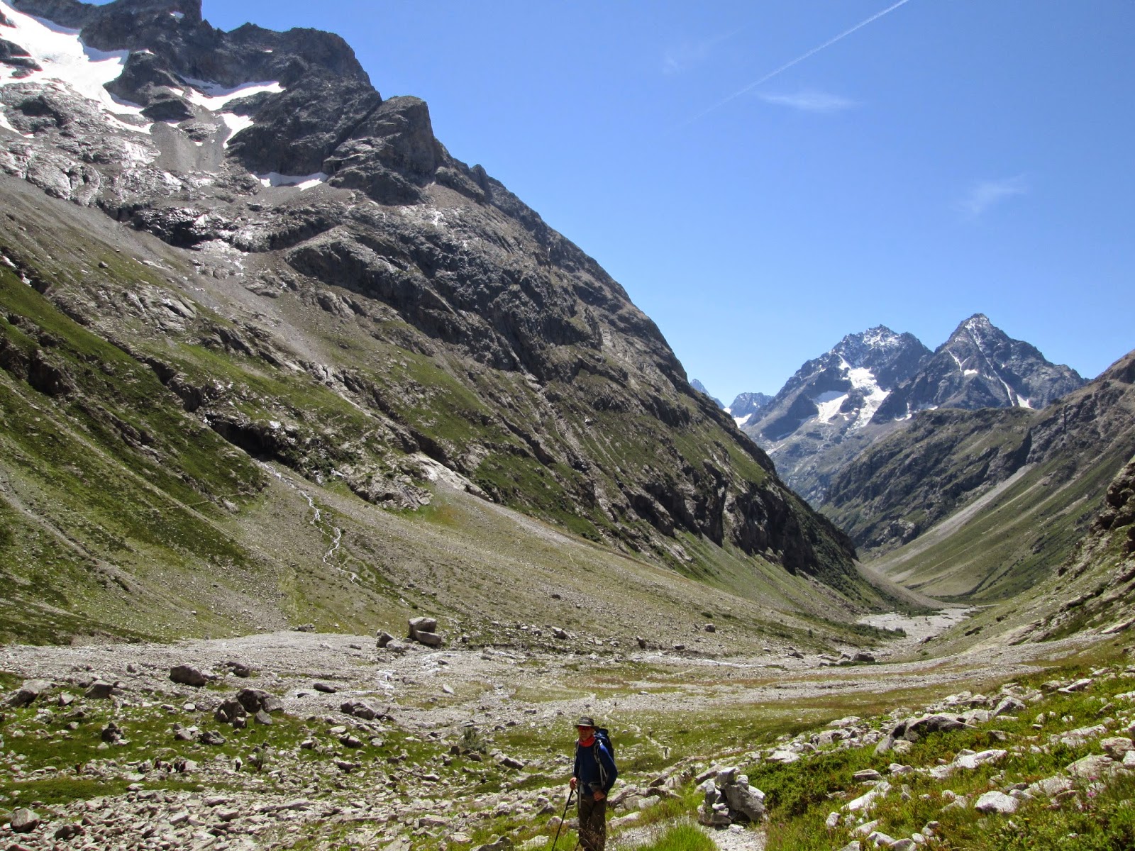
but undemanding approach to the head of the valley through gentle
green pastures and over rocky paths, with the waterfall decorated
steep sides of the valley rising on both sides.
 Looking
longingly at the shadow on the right side of the valley creeping
painfully slowly to the bottom of the valley to warm our freezing
fingers, the moment finally arrived after 2 hours just as we were
arriving at the Refuge de Chatteleret. Celebrating with a tasty
breakfast of oats and raisins and removing our winter layers, we
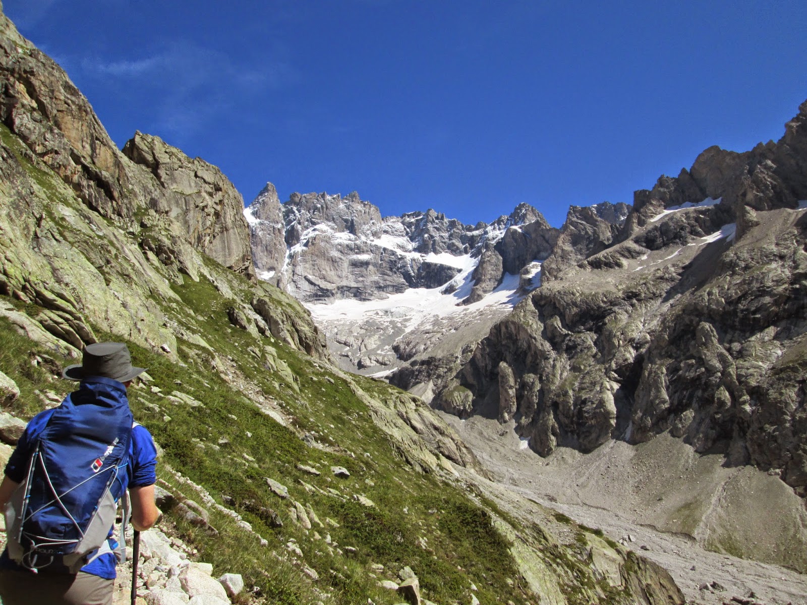
stared up the head of the valley at the precariously positioned
Refuge Promontoire another 900m above. Perched on a rocky outcrop
beneath the imposing peak of La Meije at 3982m and surrounded by
glacial scree, the refuge looks like an unlikely addition to the
mountainside and like it might fall at any time.
With
most of the day still ahead we decided to push on, following a sign
to Col du Replat which we believed to offer a route to the higher
refuge (even though it initially went in another direction). As it
turned out we were wrong about the route and after an hour of stiff
climbing and traverse over a rocky scree we reach an impasse where
the way forward was no longer a 'hiking trail'. Watching people above
in helmets and mountaineering gear we realised we had taken a wrong turning
and retraced our steps back to the lower refuge where we stopped to
prepare our lunch.
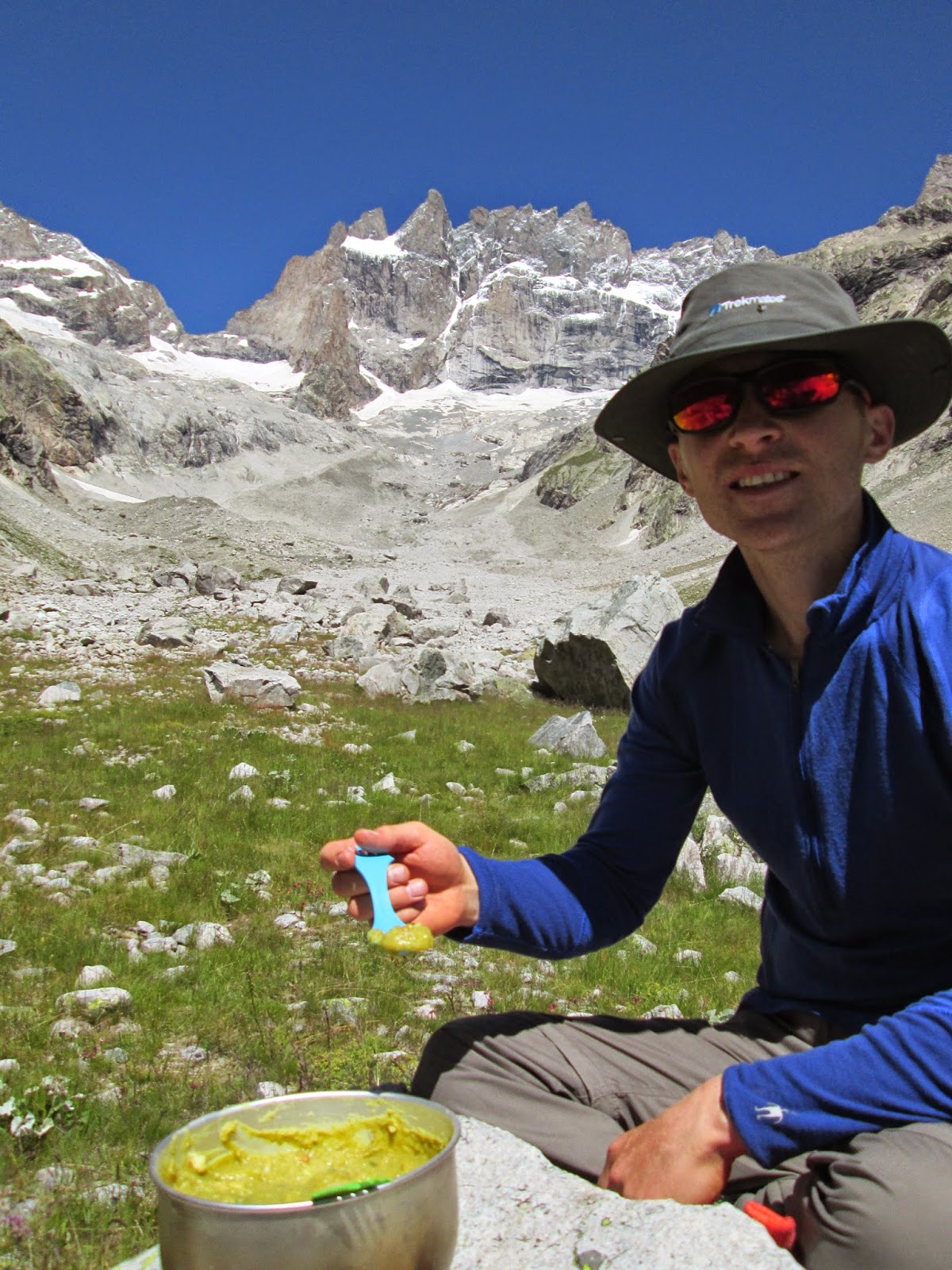
 Sitting
in the sunshine, enjoying our soup and staring up at the peak of La
Meije we reflected that you could fit the entirety of Ben Nevis
easily between us that high summit which really bought home the scale
of this place. As we headed back for home that afternoon, the
afternoon sun once again heating the ground in massive contrast the
to icy morning, we felt over awed by the scale of this place. Massive
peaks, massive glaciers, massive valleys and massive views. It really
is a hikers paradise and we feel in no rush to leave, despite the
freezing nights!
Sitting
in the sunshine, enjoying our soup and staring up at the peak of La
Meije we reflected that you could fit the entirety of Ben Nevis
easily between us that high summit which really bought home the scale
of this place. As we headed back for home that afternoon, the
afternoon sun once again heating the ground in massive contrast the
to icy morning, we felt over awed by the scale of this place. Massive
peaks, massive glaciers, massive valleys and massive views. It really
is a hikers paradise and we feel in no rush to leave, despite the
freezing nights!Click here for 7 reasons to visit the Ecrins National Park
Click here for details of 6 amazing hikes in the Ecrins National Park
Click here to see our other walks in the French Alps
Walk Information:
Motorhome Base: La Berarde
Start/ End Point: La Berarde
Distance: approx 5km to Refuge Chatelleret
Time Taken: 6 hours
Level: Moderate / Hard
Map: IGN Map 3436ET: Meije-Pelvoux / Parc National Des Ecrins 1:25,000
OR: Rando Editions Carte de Randonnees 'Ecrins' 1:50,000





No comments
Post a Comment